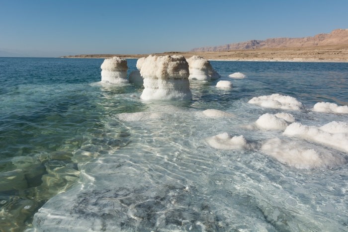
Portugal occupies a diverse and geologically fascinating area on the Iberian Peninsula. Events spanning a wide geological time span have been recorded here, particularly from the beginning of the Variscan orogeny to the present. Intensive salt tectonics played a significant role in shaping the basins and their sedimentation conditions, leading to the formation of numerous Triassic and Jurassic salt structures. Numerous ichnofossils have been documented within the sedimentary basins, ranging from the Lower Jurassic to the Upper Cretaceous, of which dinosaur footprints are particularly famous.
In Portugal and throughout the Iberian Peninsula, evidence of global tectonic events from various periods has been preserved. Currently, the SW Iberian Peninsula is experiencing seismotectonic activity caused by the convergence of the African and Eurasian plates, which has continued from the Late Cretaceous to the present.
This geologically interesting country became the destination of a scientific expedition by the Polish Salt Mining Association in September 2019. The expedition route traversed the Lusitanian and Algarve sedimentary basins, from central-western Portugal to southern Portugal. It led through the cliffs of the western and southern coasts, through geological sites with dinosaur footprints, the Tagus estuary, and several sites associated with salt structures and salinas. The first of these was the Rio Maior salina, which was formed by brines accompanying a salt dome. Brines have been drawn from wells and evaporated in artificial surface reservoirs since prehistoric times, and the first known document concerning the salinas dates back to the 12th century. Brine is still produced today using traditional methods, albeit with some technical improvements. The salina is a tourist and recreational destination.
Another site associated with salt deposits was the Bay of São Martinho do Porto. Its regular shape, protected by a rock barrier separating it from the ocean, owes its location to its location on the western slope of the massive Caldas da Rainha salt formation.
Further southwest, on the Setúbal Peninsula, the expedition's route led through the Arrábida mountain range, the extreme southern part of the Lusitanian Basin. The formation of this picturesque mountain range is associated with salt tectonics, with overthrust surfaces and salt anticlines. In places, the evaporite series forms outcrops where, until recently, local gypsum was open-pit mined.
The southernmost point of the expedition associated with salt production was a salt pan established in the Formosa River estuary. The river, separated from the ocean by a barrier of islands, flows into it through several outlets, creating a vast delta within which a nature reserve (Parque Natural da Ria Formosa) has been established. The salt pan produces salt from seawater migrating through the delta's loose sediments.
The journey through this relatively small part of Portugal provided the participants with many unforgettable experiences, delighting them with the picturesque landscapes and the wealth of geological sites, so fascinating for anyone interested in unspoiled nature, salt deposits and the history of the development of our globe.
Obszerny artykuł autorstwa K. Poborskiej-Młynarskiej, poświęcony wyprawie solnej PSGS do Portugalii został opublikowany w Przeglądzie Geologicznym, vol. 68, nr 10, 2020, pt. „Wędrówka geologiczna po południowo-zachodnim wybrzeżu Portugalii”